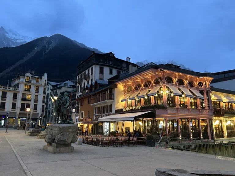
The first stage: Chamonix / Cascade du Dard
Leave Chamonix starting at Chamonix residence Chamonix Sud 1,028m by the Route des Pélerins and cross the hamlet of Barrats (1028m). At the restaurant l’Impossible, turn left on Chemin du Cry. About 500 meters further on across the settlement of Tissourds (1057m). On your left, take the Chemin des Molliasses. The path joins the Route Blanche, passes under the road bridge which spans the Torrent des Favrands and continues along this main access road to Chamonix before entering the so-called Grands Bois forest. After a short climb, cross the Torrent des Favrands by a wooden footbridge. The path leads to the old forest house of Molliasses (1073m). At this point, the track splits. On the left, it leads to the pastures of Blaitière and the Plan de l’Aiguille, on the right to the Cascade du Dard, and the access platform to the Mont-Blanc Tunnel. Follow this last direction and climb up to the Cascade du Dard (1233m).
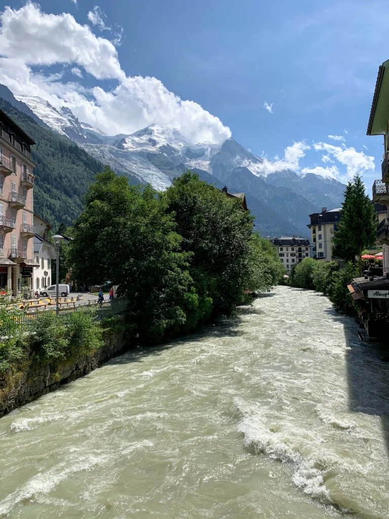
The path is steep, especially between the junction with the Route du Tunnel and the Cascade. It climbs in the forest, walking between giant trees in the shade of the branches. The Cascade is quite spectacular. The Torrent du Dard descends from the Glacier des Pélerins (2779m), springing from the forest with strength and freshness. This first stage alone is worth the 45-minute walk from Chamonix. A very lovely refreshment bar is at your disposal for a first break.
The second stage: Dard waterfall / La Para station
Leave the waterfall and reach, still by the same path, the Mont-Blanc Tunnel (1271m). You will appreciate the signs’ quality and the trails’ condition. It is very difficult to get lost.
Leave the Tunnel access platform and go into the Pélerins forest. The path overlooks the Torrent de la Creusaz on your right, which rumbles down from the Glacier des Bossons, steeped in its deep gorges. From the Tunnel, it takes 50 minutes to reach the station of La Para (1685m). In the shade of the trees, the trail winds its way through the undergrowth from which fresh and subtle smells of humus emanate. In the middle of summer, it is the optimal time for walking in the middle of the mountains. La Para station is located 414 meters above the entrance to the Mont-Blanc Tunnel. The view is fascinating. Coming out of the forest, La Para station suddenly appears.
The third stage: La Para station / Ruins of the Pierre-Pointue Refuge
The track, less steep than the previous section, continues in the forest for about 250 meters in altitude, then crosses more shaven vegetation to end at the ruins of the old Refuge de Pierre-Pointue (2057m).
In ancient times when cable cars did not exist, Pierre-Pointue was the first stop on the Mont-Blanc route. Today, only a few ruins of walls bear witness to another time. From La Para, the trail winds between the remains of the 19 ancient towers. Some are still in place, and some are not. Only the freestone plinths attest to their former presence.
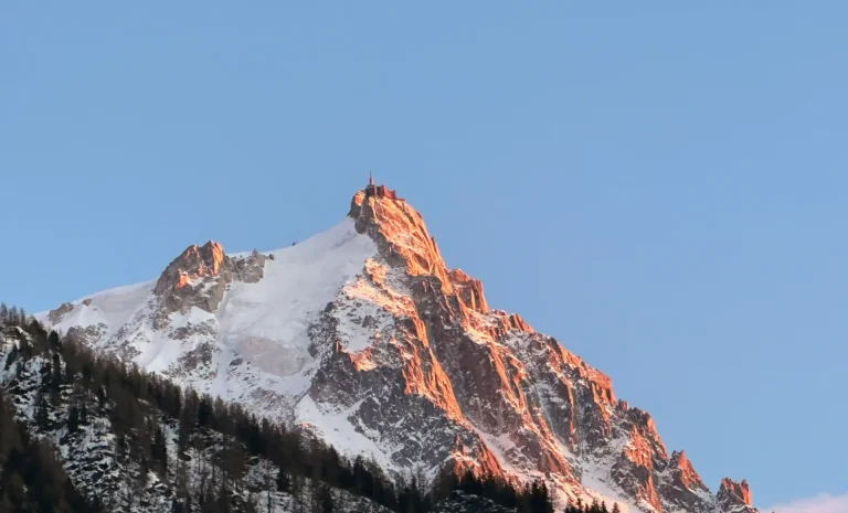
Pierre-Pointue offers a unique triple point of view. View of the Chamonix valley, view of the seracs of the Glacier des Bossons and view of the Aiguilles de Chamonix, proudly erected in their gray granite robes, defying climbers.
Last stop: Pierre-Pointue / Gare des Glaciers
There are still 314 meters of elevation to cover before reaching the final goal of this historical walk. The track makes its way through a tortuous passage through large fragments of rocks that have fallen from the Agulhas. The Gare des Glaciers (2414m) appear once you have passed the foothills of the Aiguillette de la Tour (2274m). The view of the Aiguilles Rouges, on the other side of the Chamonix valley, is impressive.
Here you are, you have arrived at the end of this walk, from La Para station, you had to walk two hours. You are at 2414 meters above sea level. The chain of the Aiguilles de Chamonix, which culminates with the Aiguille du Midi (3842m), overlooks the old station. Then begins the territory of the high mountains.
To return to Chamonix, you have two options, go down the same path or reach the Plan de l’Aiguille (2310m) by crossing the Glacier des Pélerins (one hour walk). From there, take the path that leads to Chamonix or go back down with the Aiguille du Midi cable car.